
Autonomous Mobile Robot
AMR
Mission Objective - Fully-Autonomous Ground System
Simlation with Camera Node
The robot is simulated in Gazebo using the Robot Operating System (ROS) on a differential drive platform, enabling the optimisation of motion planning and obstacle avoidance strategies prior to physical deployment.
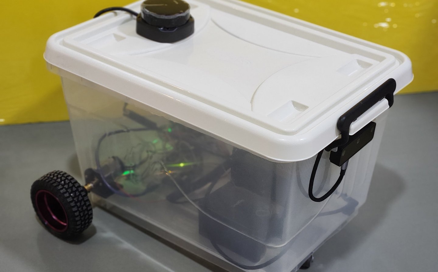
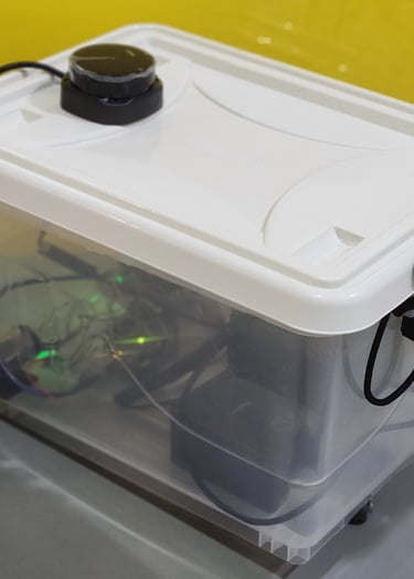
LIDAR Testing on the AMR
To enhance navigation and object detection, LiDAR was integrated into both the simulation environment and the physical UGV. This enables precise distance measurements, significantly improving obstacle detection and mapping capabilities.
Accurate calibration of the LiDAR sensor is critical for reliable data acquisition; therefore, extensive testing was conducted in both simulated and real-world conditions. Validation in simulation ensured consistent and reliable sensor performance for autonomous navigation.
SLAM Simulation
Using the LiDAR sensor, Simultaneous Localization and Mapping (SLAM) was implemented to enable real-time environment mapping and localisation. This allows the UGV to construct a map of its surroundings while continuously estimating its position within that map.
SLAM simulations, combined with Adaptive Monte Carlo Localization (AMCL), were used to refine navigation algorithms and validate the accuracy of generated maps. This capability is essential for autonomous operation in unstructured environments, where the UGV must efficiently navigate and identify targets such as waste objects.